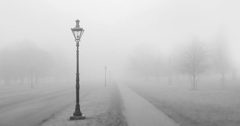
Fall time is foggy. The phenomenon that obscures our view can occur in all seasons. For the water vapor to condense into droplets in the air, the air has to cool down or the humidity has to increase. Let’s learn how is fog formed?

In principle, fog is nothing more than a cloud on the surface of the earth, then how is fog formed? Numerous water droplets float in the air and reflect the light which obscures our view. Fog always looks the same, but it can arise in different ways. In any case, the relative humidity which is the ratio between the current and maximum possible water vapor content must reach one hundred percent, so that the water vapor condenses more.
In autumn and winter, the nights are longer than the days so that the air can cool down for a long time. The relative humidity then increases, because cold air can absorb less water vapor than warm air. When the air reaches a certain temperature at night called the dew point, the water vapor begins to condense and the fog is formed immediately.
Even if the temperature drops for other reasons, fog can form. After a hailstorm in summer, for example, it takes a while for the ice to melt. As long as they lie on the floor and cool the damp ambient air, they can create fog.
A special form of cooling mist is linked to the wind. If wind brings moist air over a colder surface, so-called Advection Fog can occur. The phenomenon can be observed in autumn especially on the Sea coasts when the wind blows from the sea towards the coast and the land area has cooled down significantly before.
The reverse case occurs on the Pacific coast of Peru and Chile. There, warm air from the land often flows over the cold water.
Suggested Read: Why Is Earth Called a Unique Planet?
Another special form of cooling mist occurs in the mountains. Moist air flows up on a mountain as the air pressure and temperature drop. As soon as condensation occurs, fog is created. If the water evaporates from a lake or a river into the cold air, fog can also form. This phenomenon, which is typical for autumn, is called sea smoke.

Evaporation mist can also be observed in summer, over the surface of a still-warm street that has been dampened by a short rain shower. Another type of fog is created when two moist air masses mix because the maximum amount of water vapor that air can absorb increases exponentially with temperature.
On a small scale, everyone can produce mist themselves by breathing out into the frosty air on a cold winter day. The water vapor condenses immediately in the mixture of breathing air and ambient air. The cloud that is created is nothing more than a hint of mist. Mixing fog is very rare in normal weather. The best way to observe it is in the mountains.
In all the forms of the mist described so far, it is droplets of liquid water that cause the phenomenon. Even below freezing, the water droplets in the air initially remain liquid. At moderate minus temperatures, the droplets can only freeze on solid surfaces. In extreme cold, however, fog can consist entirely of ice crystals. To do this, the temperature must drop below minus 35 degrees Celsius. Ice fog, therefore, occurs predominantly in the polar regions.
Suggested Read: How is the Rainbow Formed? The Science Behind It
How Big Are The Water Droplets In The Fog?

The size of the mist droplets is different but moves in a narrow range. Droplets with a diameter between one hundredth and one-tenth of a millimeter were observed. If the droplets get bigger, they will soon fall to the ground due to their weight.
Fog contains less liquid water than you might think. The weight of all droplets together per cubic meter is typically between a hundredth and a third of a gram.
This phenomenon is the main reason of how fog is formed.


